
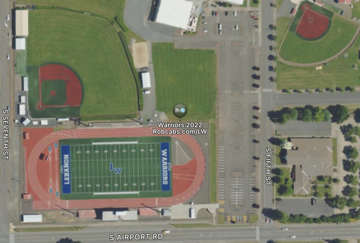
Lebanon Warriors Athletics Facilities
•
🗺️
🥎
⚾️
🏈
🏃♀️
⚽️
— Aerial imagery of Heath Stadium, Ron Fuller Field, & Croco Field, Lebanon, Oregon.

Weather & Mobile maps for Black Canyon of the Colorado River
•
🗺️
🧭
📍
🛶
🌡️
— Just below Hoover Dam in Lake Mead National Recreation Area

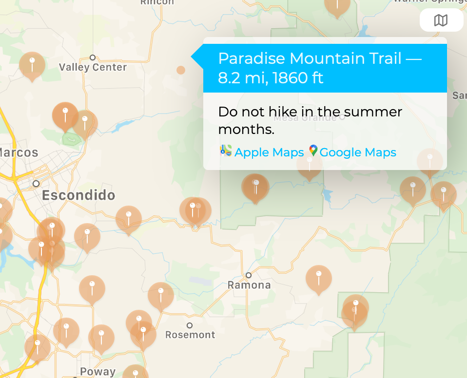
WBC Weather & Trailheads
•
🌡️
🗺️
📍
🥾
#mapsForNonProfits
— Weather & Trailheads in San Diego & Imperial Counties or Anza-Borrego State Park

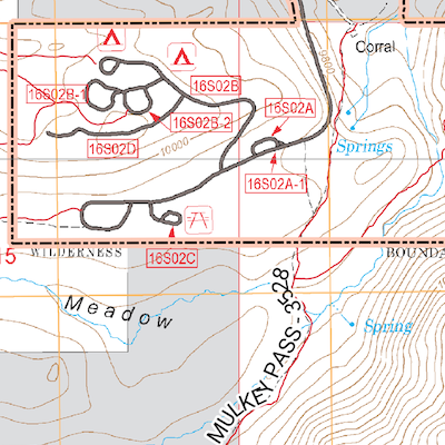
XYZ Raster Sources
•
🗺️
— A collection of `xyz` raster sources for use in QGIS, MapLibre, or Mapbox Styles.


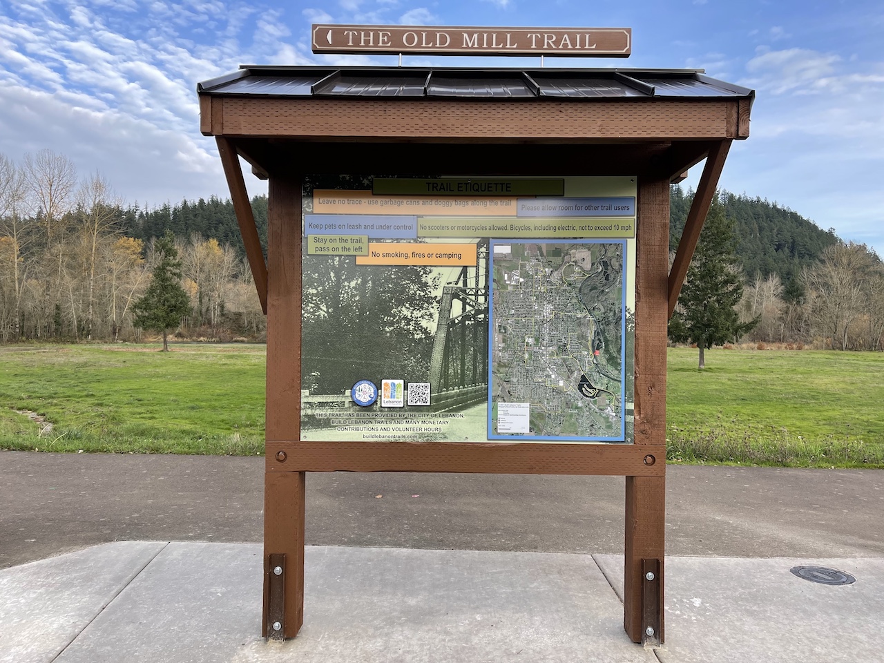
Build Lebanon Trails
•
🥾
🗺️
🧭
📍
🎥
#mapsForNonProfits
— Creating kiosk maps for the Build Lebanon Trails association.
Maps are complex, static images are simple.
•
🎙️
🎥
🗺️
📍
#mapsForNonProfits
— Maps tell stories about a location. Presented as part of the Mapbox Lunchbox Webinar Series.


ig
•
🎥
📸
🗺️
🧭
📍
— @roblabs on Instagram ...
Exif and Using Images for Surveying
•
🐶
— Use Exif data in your JPEG from your iPhone to capture Geo Data

PostGIS on macOS
•
🐶
— PostGIS with Postgres.app & Postico
Go Beavs
•
🦫
— Beaver #GameDay Notes

iPhone apps
•
🐶
— Go to the Apple App store to see our iPhone & iPad Maps.
Map #1015
•
🐶
— Online map of Wilson Park, Vallejo, CA. Home of the Vallejo Admirals.
The Ten Essentials
•
🐶
— Maps, compasses and the 10 essentials
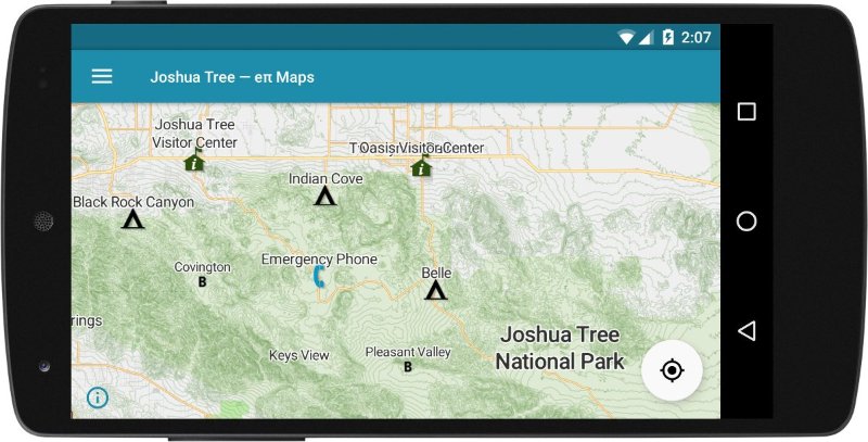
Joshua Tree — eπ Maps
•
🐶
— Apple Guide for Joshua Tree