Horseshoe Meadows
By @RobLabs
Avenza Maps for Mobile
Our Offline Satellite map for Mobile is made to plugin to Avenza Maps. The file sizes of Offline Satellite maps for mobile can be large, so use the smaller samples to test out and become familiar with Avenza Maps.
Note: The free version is limited to having three maps downloaded to the app at any one time.
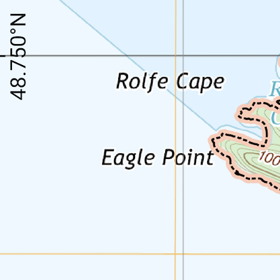
 Matia Island sample, 1.6 MB. Use to test your setup of Avenza Maps.
- Made with QGIS.
- Download size is 1.6 MB.
- Uses 4 MB of storage on iOS.
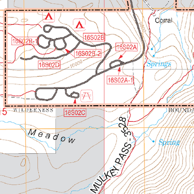
 Offline Forest Service Map of Horseshoe Meadows
- Sourced from topographic data the USFS.
- Download size is 18 MB.
- Uses 53 MB of storage on iOS.
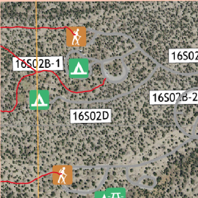
 Offline Satellite Map of of Horseshoe Meadows
- Sourced from Satellite images from the USGS & the USDA (NAIP).
- Download size is 398 MB.
- Uses 682 MB of storage on iOS.
Install the mobile app
- Install from Apple App Store and Open Avenza Maps. iOS docs from Avenza if you get stuck.
- If you have a link that starts with
avenzamaps://, then the link will automatically open in Avenza Maps and the import of the map will begin. You can also manually paste in a link on iOS: - On the My Maps screen, tap the Add icon (‘+’) to import a map.
- At the bottom choose “Tap to enter a URL of a Map”
- Paste in the link to your offline map.
- If you have a link that starts with
- Install from Google Play Open Avenza Maps. Android docs from Avenza if you get stuck.
- If you have a link that starts with
avenzamaps://, then the link will automatically open in Avenza Maps and the import of the map will begin. You can also manually paste in a link on Android: - On the My Maps screen, tap the Add icon (‘+’), a round, orange button, followed by “Download or import a map”.
- Choose the
http://option in the section called “Import your own map” - Paste in the link to your offline map.
- If you have a link that starts with