Build Lebanon Trails
November 2021 - final version v2021-11-02
Print #mapsForNonProfits
During the summer of 2021, we networked with the Build Lebanon Trails association to help them with their map assets as they start to build more trails in Lebanon, Oregon.
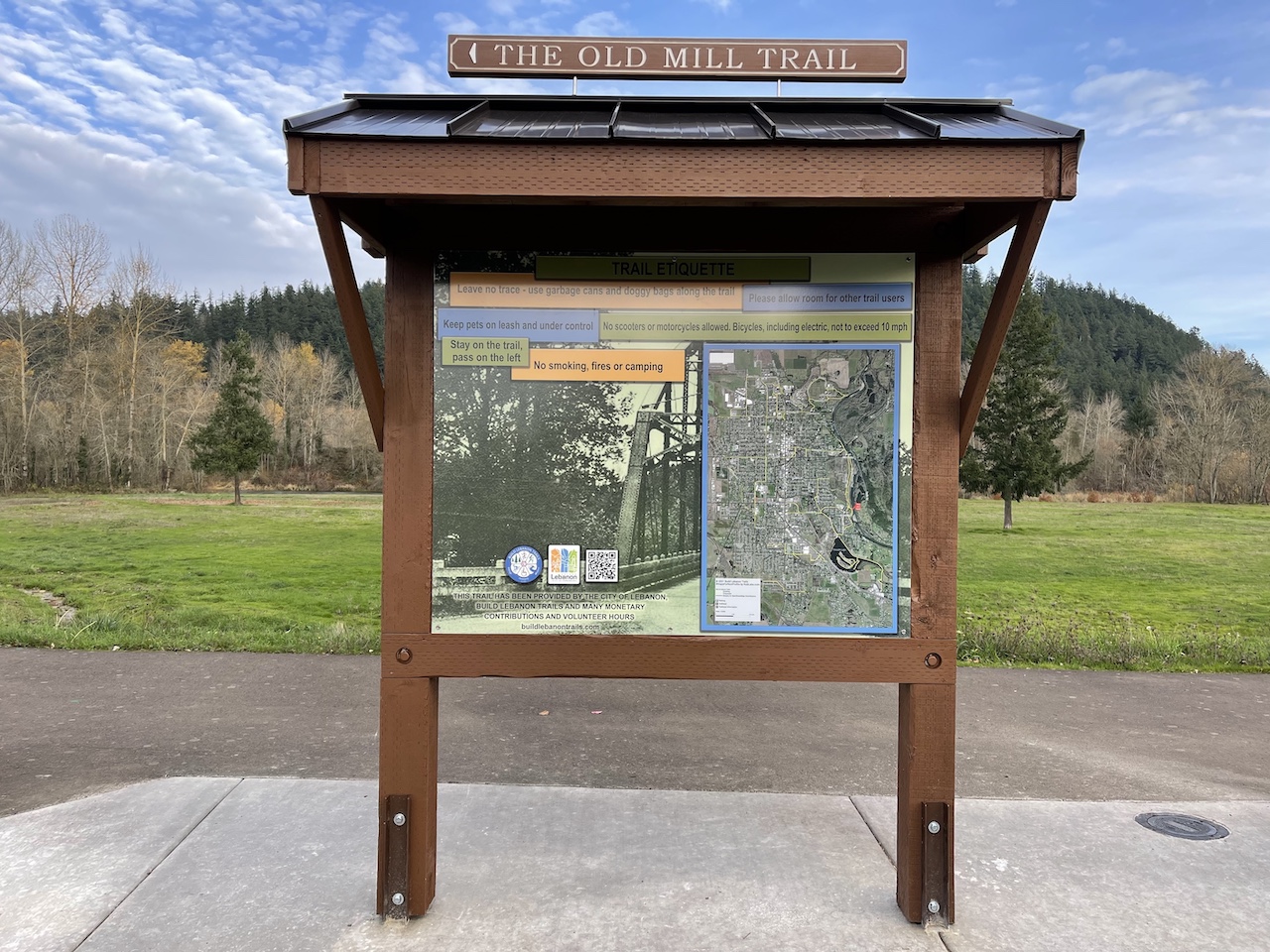

- This is a 2'x3' map that is print ready with dimensions of 7200 × 10800 pixels at 300 pixels per inch.
- For a web version of this 2'x3' map, see this link. This can be integrated into the Build Lebanon Trails website by downloading this 97 MB Zip file.
- This 251 MB TIFF version of the map should only be downloaded if you are interested in printing your own copy of the map.
- This 53 MB Zipfile contains five maps scaled at 8"x10" for use for printing on letter size pages.
- Gill's Landing to the north part of Cheadle Lake
- Marks Slough Loop Trail & Dr Thad Nelson Trail; the eastern portion of the Northside Community Trail
- The western portion of the Northside Community Trail
- Burkhart Creek Trail
- Cheadle Lake trails
Maps for Mobile
We built a version of the Build Lebanon Trails map to work as a Offline Maps for Mobile. And it is designed to work with Avenza Maps, a free download availabe for iOS & Android.
Note: From the Avenza Support site on how many maps you can download.
"You are able to import an unlimited number of your own maps, however, only 3 maps will be able to use the tools contained within Avenza Maps such as location, placemark creation, & tracking."
iOS
Install from Apple App Store and & open Avenza Maps. Use iOS docs from Avenza if you need additional assistance.
- Tap this this link when Avenza Maps is installed: Build-Lebanon-Trails-2x3
Maps for Social Media
We have created 1024 × 1024 pixel images that are perfect for sharing trailheads on social media. You can Save Image As ... in your browser.


Interactive map
- Online version in a full window.