apple-maps-web-snapshot-cli

Maps Web Snapshot

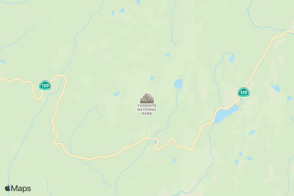
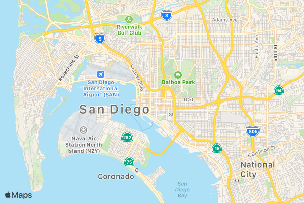
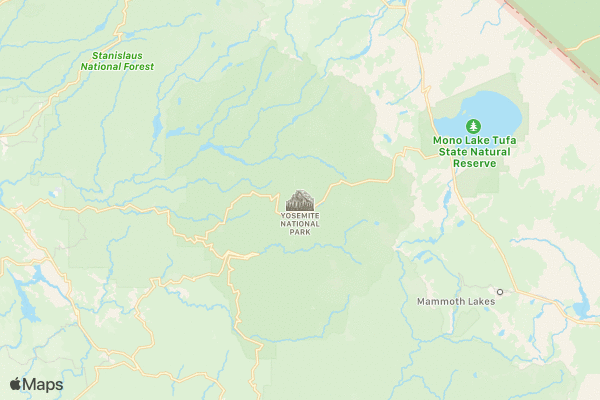
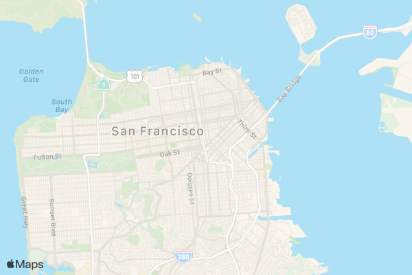
At WWDC 2019, Apple announced Maps Web Snapshots for creating a static map from a URL.

Usage

Update your credentials in config.json then install and run.

# config.json
#   Do not commit your secrets
{
  "teamId":             "XXXXXXXXXX",
  "keyId":              "YYYYYYYYYY"
  "privateKey": "AuthKey_YYYYYYYYYY.p8",
}
# install
npm install

# run and inspect output
mapkit-snapshots.js null-island.geojson -c config.json

Online help

Online help is available by supplying no parameters.

mapkit-snapshots.js
Usage:
  mapkit-snapshots.js <file.geojson> -c config.json     # -c pass in privateKey, teamId, keyId
  mapkit-snapshots.js <file.geojson> -c config.json -o  # -o opens in default browser

Generate a URL to display a map from a Apple Maps Web Snapshot.

Find the source code at roblabs/apple-maps-web-snapshot-cli

See the sample GeoJSON, null-island.geojson for example valid properties

"properties": {
  "center": [20, 20],
  "display_point": {
    "type": "Point","coordinates": [10,10]
  },
  "z": 2,
  "spn": [1.0, 1.0],
  "size": [600, 400],
  "scale": 1,
  "t": "mutedStandard",
  "colorScheme": "dark",
  "poi": 1,
  "lang": "en-US",
  "annotations": [],
  "overlays": [],
  "referer": "",
  "expires": 3155673601
}

Apple MapKit JS Examples

This repo shows working samples of Maps Web Snapshots and Node JS sample code for generating the proper URLs to use in your applications.

Snapshot Parameters or Documenation from Create a Maps Web Snapshot Parameter examples
center - The center of the map. You can specify center as coordinates or as an address.  
  signIt("center=0,0")
  signIt("center=37.839622,-119.515182")
  signIt("center=San%20Diego,%20California")
size & scale - size - The width and height must be within the range of [50, 640]. Default: 600x400. scale - The pixel density of the image. scale=2 returns an image intended for 2× Retina displays.  
  signIt("center=San%20Diego,%20California&scale=1")
  signIt("center=San%20Diego,%20California&scale=2")
t - The map type. Possible values: standard, hybrid, satellite, mutedStandard
  signIt("center=37.839622,-119.515182&t=standard")
  signIt("center=37.839622,-119.515182&t=hybrid")
  signIt("center=37.839622,-119.515182&t=satellite")
  signIt("center=37.839622,-119.515182&t=mutedStandard")
  signIt("center=San%20Diego,%20California&t=standard")
  signIt("center=San%20Diego,%20California&t=hybrid")
  signIt("center=San%20Diego,%20California&t=satellite")
  signIt("center=San%20Diego,%20California&t=mutedStandard")
colorScheme - The color scheme of the map. Possible values: light, dark. The dark color scheme only applies to the standard and mutedStandard map types.
  signIt("center=San%20Diego,%20California&t=standard&colorScheme=light")
  signIt("center=San%20Diego,%20California&t=standard&colorScheme=dark")
  signIt("center=San%20Diego,%20California&t=mutedStandard&colorScheme=light")
  signIt("center=San%20Diego,%20California&t=mutedStandard&colorScheme=dark")
z - The zoom level of the map.
  signIt("center=37.839622,-119.515182&z=15")
  signIt("center=37.839622,-119.515182&z=14")
  signIt("center=37.839622,-119.515182&z=13")
  signIt("center=37.839622,-119.515182&z=12")
  signIt("center=37.839622,-119.515182&z=11")
  signIt("center=37.839622,-119.515182&z=10")
  signIt("center=37.839622,-119.515182&z=9")
poi - A Boolean value indicating whether points of interest are shown on the map.
  signIt("center=San%20Francisco,%20California&t=mutedStandard&poi=0")
  signIt("center=San%20Francisco,%20California&t=mutedStandard&poi=1")
lang - The language to be used for labels on the map, Supported values are in locale IDs, such as en-GB or es-MX.
  signIt("center=37.839622,-119.515182&z=3&lang=ar-AR")
  signIt("center=37.839622,-119.515182&z=3&lang=de-DE")
  signIt("center=37.839622,-119.515182&z=3&lang=en-US")
  signIt("center=37.839622,-119.515182&z=3&lang=es-MX")
  signIt("center=37.839622,-119.515182&z=3&lang=es-ES")
  signIt("center=37.839622,-119.515182&z=3&lang=el-GR")
  signIt("center=37.839622,-119.515182&z=3&lang=fi-FI")
  signIt("center=37.839622,-119.515182&z=3&lang=fr-FR")
  signIt("center=37.839622,-119.515182&z=3&lang=ja-JA")
  signIt("center=37.839622,-119.515182&z=3&lang=hu-HU")
  signIt("center=37.839622,-119.515182&z=3&lang=it-IT")
  signIt("center=37.839622,-119.515182&z=3&lang=ko-KO")
  signIt("center=37.839622,-119.515182&z=3&lang=nl-NL")
  signIt("center=37.839622,-119.515182&z=3&lang=no-NO")
  signIt("center=37.839622,-119.515182&z=3&lang=he-HE")
  signIt("center=37.839622,-119.515182&z=3&lang=hi-IN")
  signIt("center=37.839622,-119.515182&z=3&lang=pt-BR")
  signIt("center=37.839622,-119.515182&z=3&lang=ru-RU")
  signIt("center=37.839622,-119.515182&z=3&lang=tr-TR")
  signIt("center=37.839622,-119.515182&z=3&lang=vi-VI")
  signIt("center=37.839622,-119.515182&z=3&lang=zh-ZH")
annotations - Example of Annotations . The array of JSON Annotation, which draws 3 points: a red dot, a green balloon, & blue large annotations, is shown [{"point":"32.73,-117.19", "color":"blue", "glyphText":"A", "markerStyle":"large"},
{"point":"32.71,-117.17", "color":"00ff00","glyphText":"9", "markerStyle":"balloon"},
{"point":"32.69,-117.16", "color":"red", "glyphText":"a", "markerStyle":"dot"}
]
Live example of Annotations signIt("center=San%20Diego,%20California&<urlEncoded Annotations>")
overlays - Example of Overlays. The array of JSON Overlay objects, which draws a red dashed line over 3 points, is shown:
[{"points":["32.73,-117.19","32.71,-117.17","32.69,-117.16"],
"strokeColor":"ff0000","lineWidth":2,"lineDash":[10,5]}
]
Live example of Overlays signIt("center=San%20Diego,%20California&<urlEncoded Overlay>")
Live example of Annotations & Overlays, together signIt("center=San%20Diego,%20California&<urlEncoded Annotation & Overlay>")

Release Log